Bhubaneswar, Nov. 9: An upper air cyclonic circulation is likely to form over south east Bay of Bengal on November 14 which may get converted into a low pressure area the next day with probability of further intensification, according to the Centre for Environment and Climate (CEC) at Siksha ‘O’ Anusandhan (SOA) here.
Preliminary model analysis indicates that the system will move in a north- westerly direction with the possibility that it might change direction and head in a northerly direction from November 16, a CEC bulletin said.
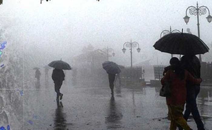
Under its influence, light to moderate rain might occur in south Odisha districts from November 15 with probability of heavy rainfall from the next day. With the system moving in a northerly direction, the coastal and north Odisha districts could receive widespread precipitation with heavy rainfall at a few places from November 16 night.
Heavy rainfall could occur in Gajapati, Koraput, Rayagada, Kandhamal, Ganjam, Puri, Nayagarh, Dhenkanal, Jagatsinghpur, Khurda, Cuttack, Kendrapara, Bhadrak, Balasore, Mayurbhanj, Jajpur and Keonjhar between November 16 and 18, the bulletin said.
It said model analysis indicated that the prevailing decrease in night temperature and increase in day temperature will continue till November 12 due to the prevailing anticyclone, a weather phenomenon, over central India. As these systems are expected to weaken subsequently, it could cause gradual rise of night temperature from November 13, it added.

