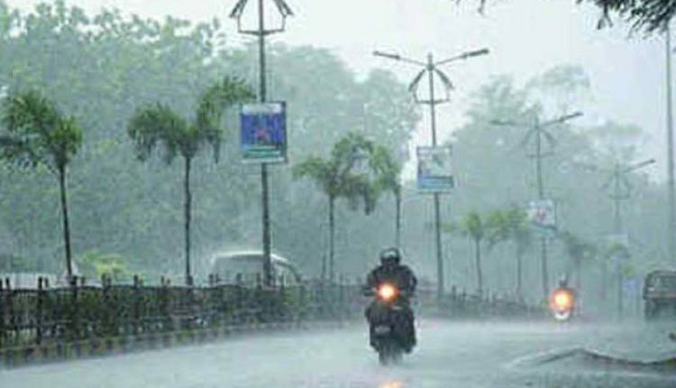
Bhubaneswar : Even as a flood situation gripped Odisha, there was fresh possibility of formation of a cyclonic circulation over north-west Bay of Bengal off the state’s coast on August 18 which is likely to trigger a low pressure area (LOPAR) over the same region the next day, SOA’s Centre for Environment and Climate (CEC) said on Tuesday.
The LOPAR will remain almost stationary till August 20 morning after which it will move in a west-north-westerly direction, a CEC bulletin said.
Under its influence, moderate rain will occur over coastal and adjoining districts on August 18 to be followed by heavy to very heavy rainfall the next day over north Odisha districts.
The districts to be impacted will include Sundargarh, Mayurbhanj, Keonjhar, Deogarh, Balasore, Bhadrak, Jajpur, Khurda, Cuttack, Kendrapara, Dhenkanal, Nayagarh, Kandhamal and Angul. Heavy rainfall is also likely in the western Odisha districts of Kalahandi, Nabarangpur, Nuapada, Balangir, Kandhamal, Bargarh, Sambalpur, Sonepur, Boudh and Jharsuguda from the night of August 19, the bulletin said.
It said the probability of very heavy rain was high over west and north Odisha districts for 24 hours from August 19 night in the catchment areas of upper and lower Mahanadi, Baitarani and Brahmani rivers.
Chhatisgarh region is also expected to experience very heavy rainfall from August 19 to 21. Light to moderate rainfall may occur in south Odisha districts during this period. The rains will decrease from August 21.
Meanwhile, the depression over the Odisha coast which triggered heavy rains over the state had moved to north-west India and was centred over western Madhya Pradesh and Rajasthan on Tuesday.

